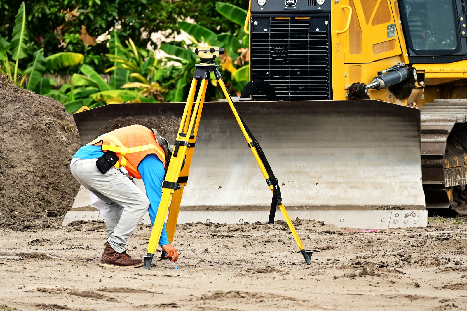
Boundary Surveys
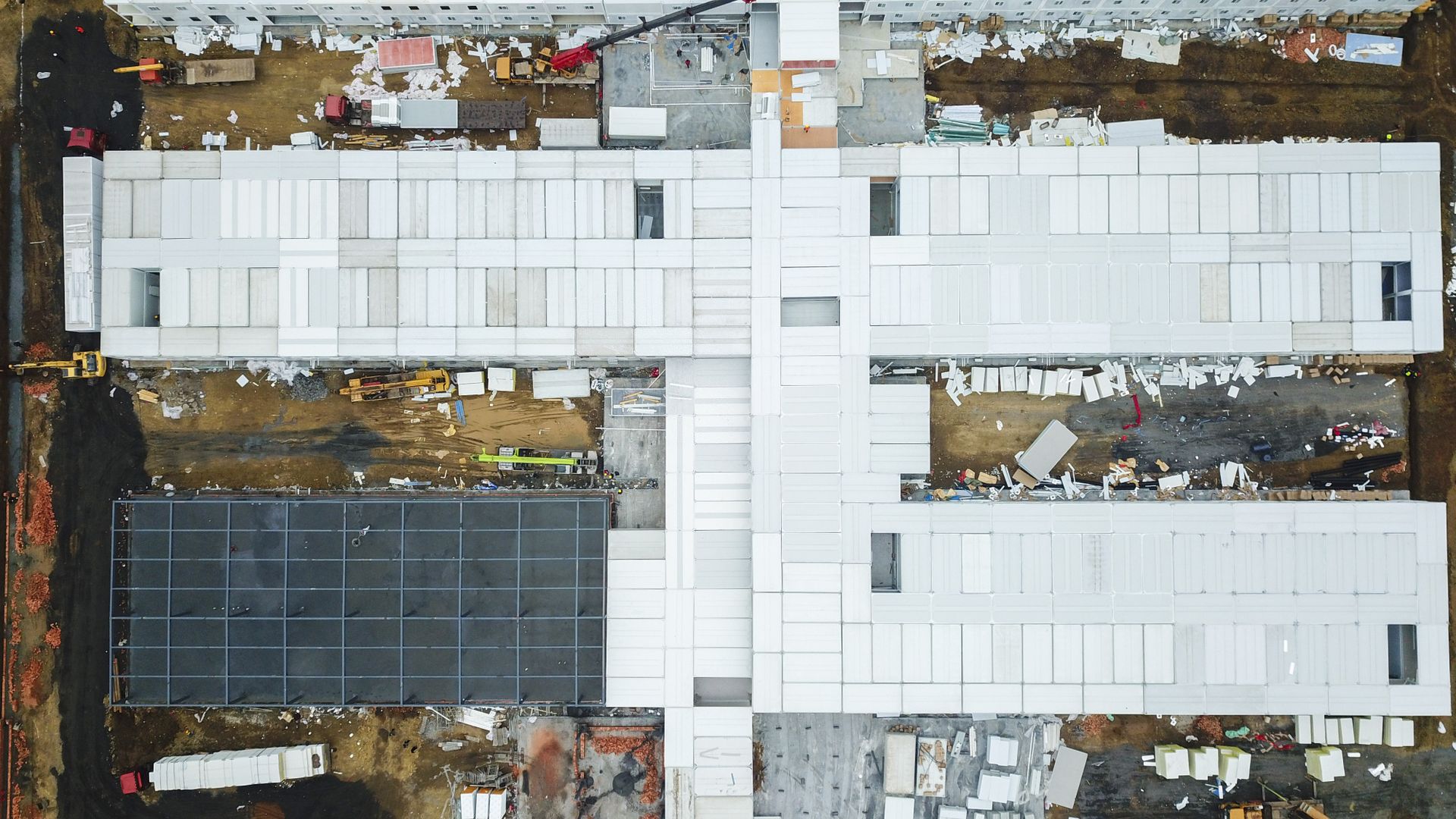
Exact property lines, corners, and easements recovered from deed records and field evidence.
Read MoreWelcome to Cairnstone
Licensed surveyors for boundaries, topography, and construction layout. Certified measurements, clear plats, and reports your project can build on.
Our Services
From a single lot line to a full construction site, our licensed crews deliver survey-grade measurements, recorded plats, and digital files ready for design and permitting.
Learn More Exact property lines, corners, and easements recovered from deed records and field evidence.
Read More
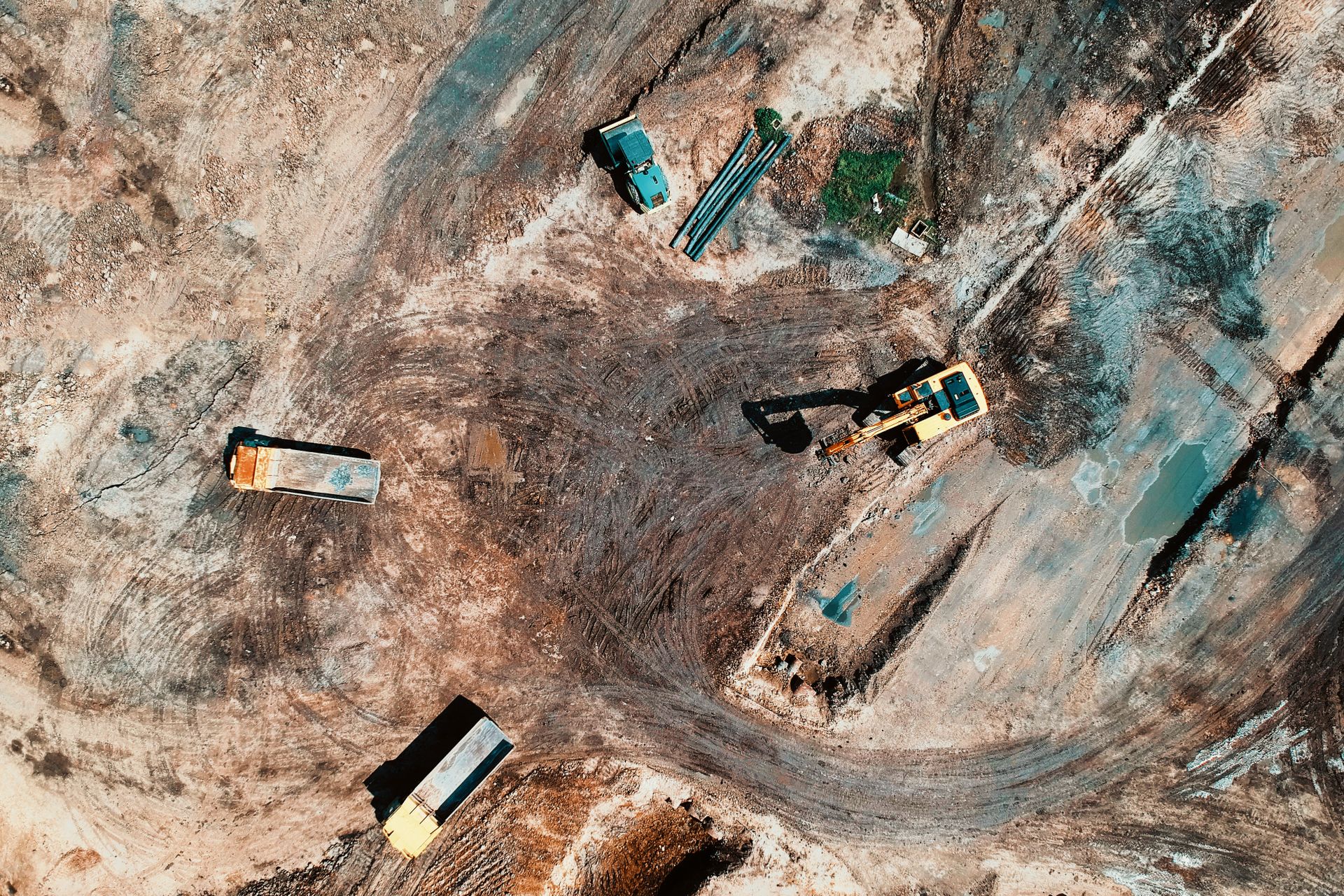
Contours, elevations, and surface features mapped to the detail your engineers need.
Read More
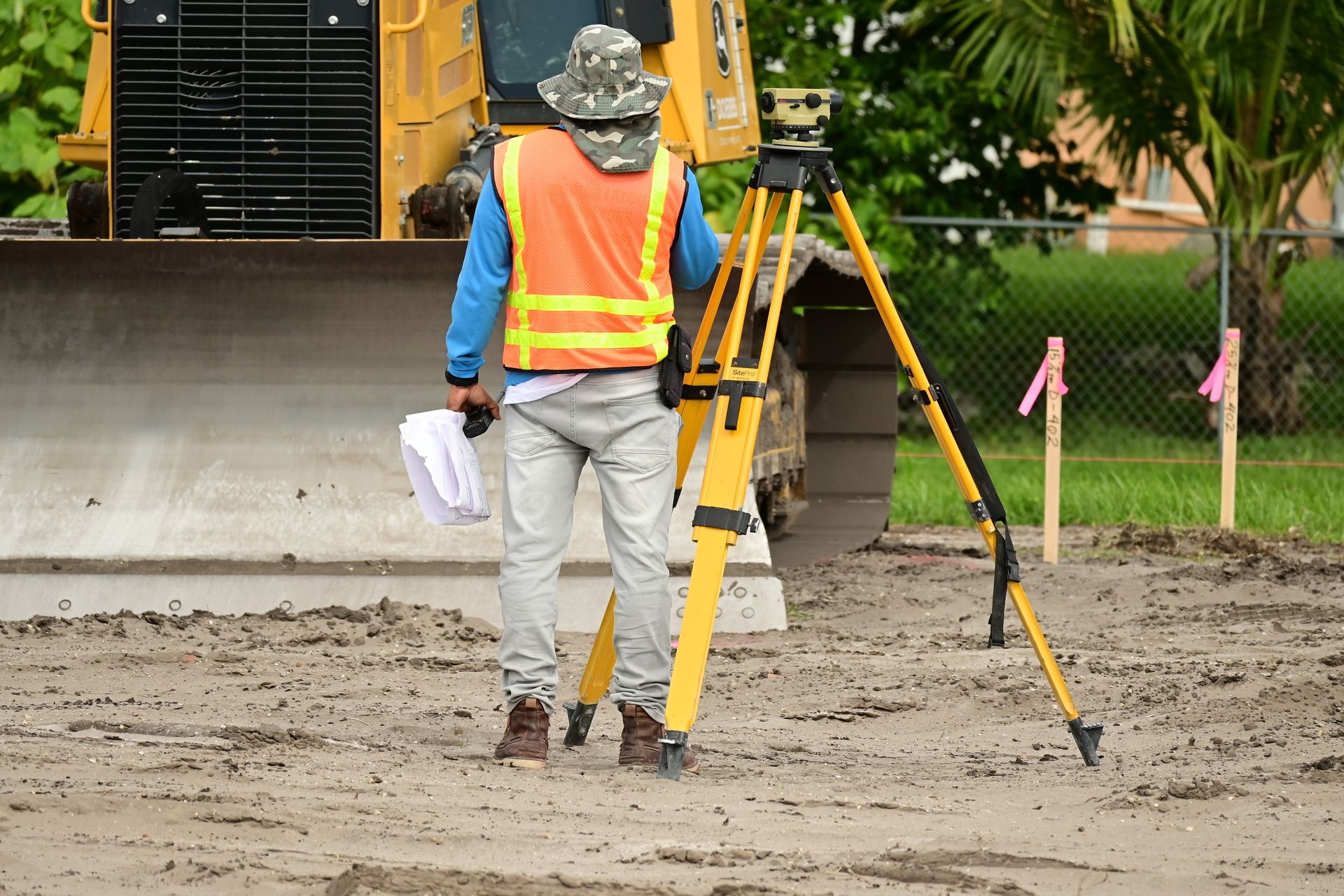
Grid lines, grades, and offsets staked in the field so your build lands exactly on plan.
Read More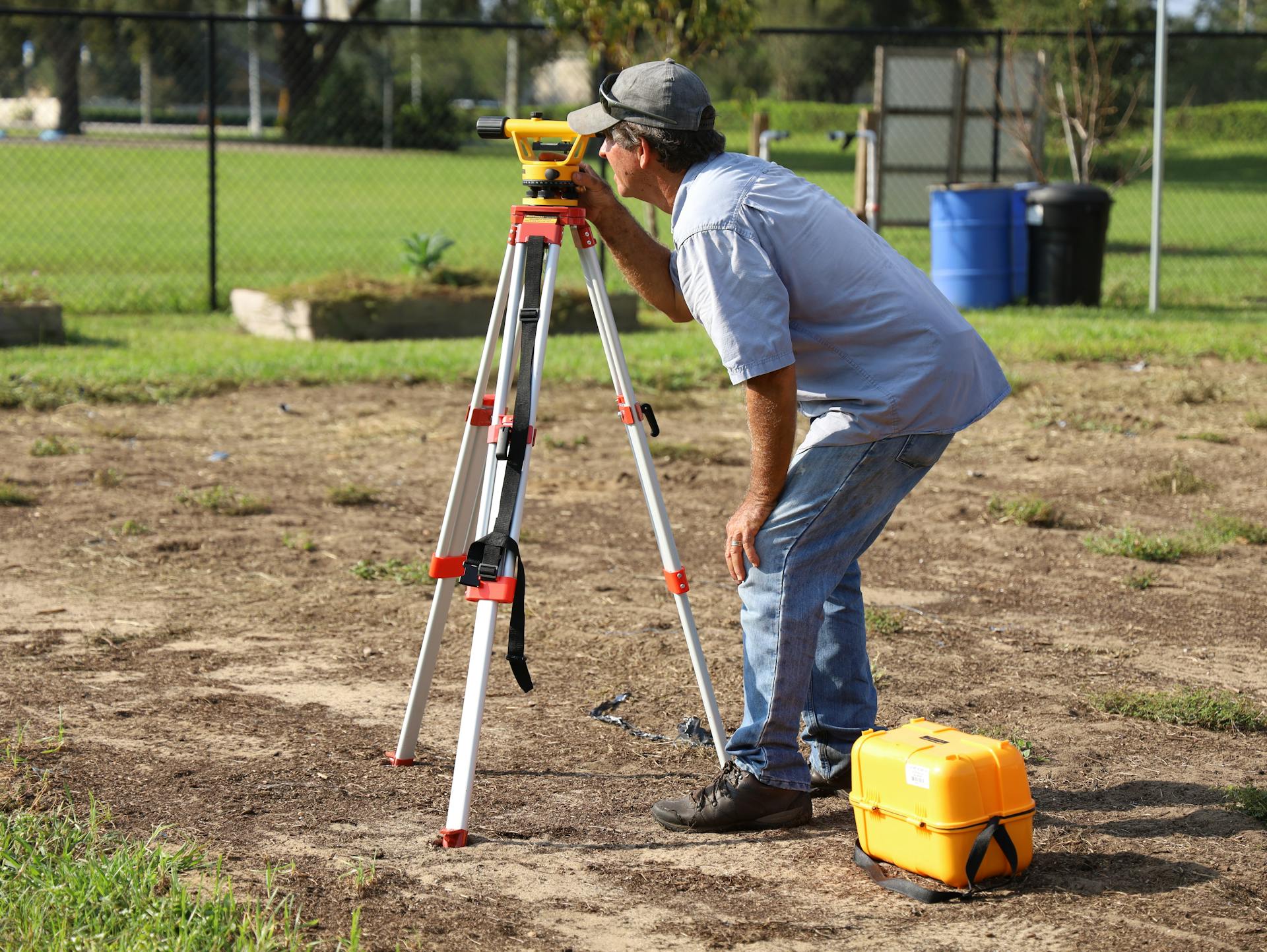
Why Choose Us
We pair modern robotic instruments and GPS with old-school deed research, so every corner we set is backed by evidence and every map we sign is built to record.
Licensed professionals with two decades of boundary law, geodesy, and field craft behind every survey.
Calibrated robotic instruments and closed traverses hold every measurement to survey-grade tolerance.
Plain-language plats, fast turnarounds, and a surveyor who answers the phone when it matters.
Project
A sample of recent fieldwork — city plats, shoreline studies, highway corridors, and commercial sites.
City Planning
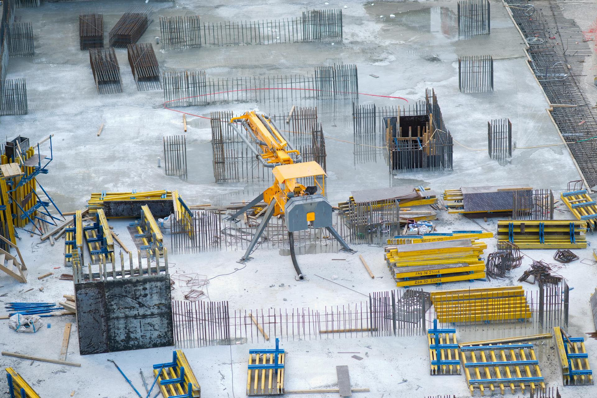
Boundary recovery, lot layout, and control for a 120-lot subdivision — tied to city datum and ready for final plat.
Read MoreShoreline Monitoring
Repeat bluff profiles and beach transects tracking seasonal change for a coastal protection program.
Read More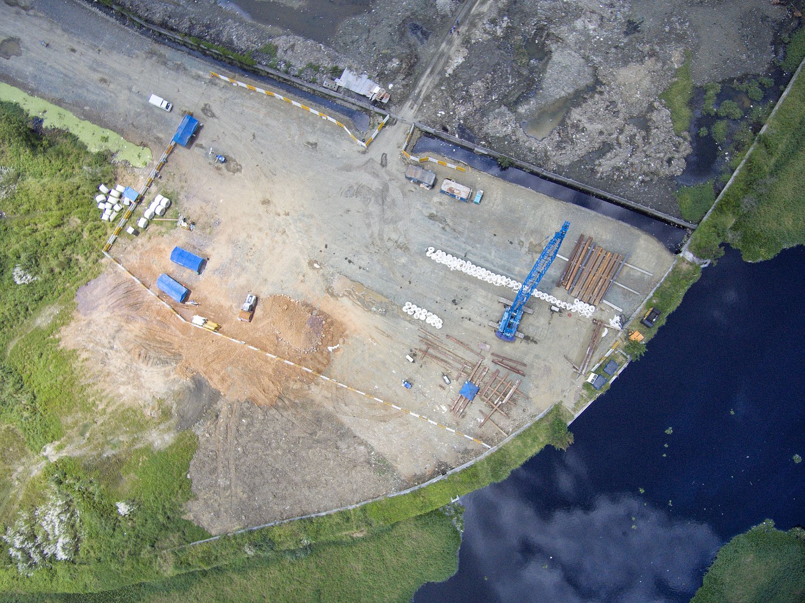
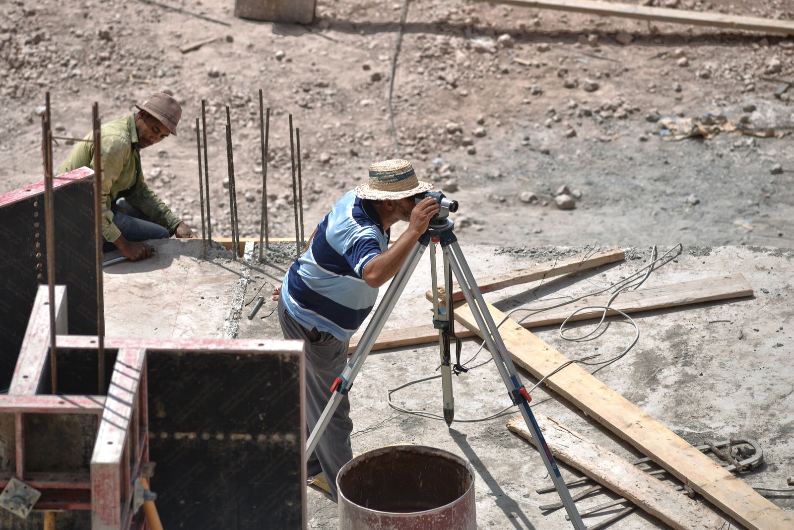
Infrastructure Development
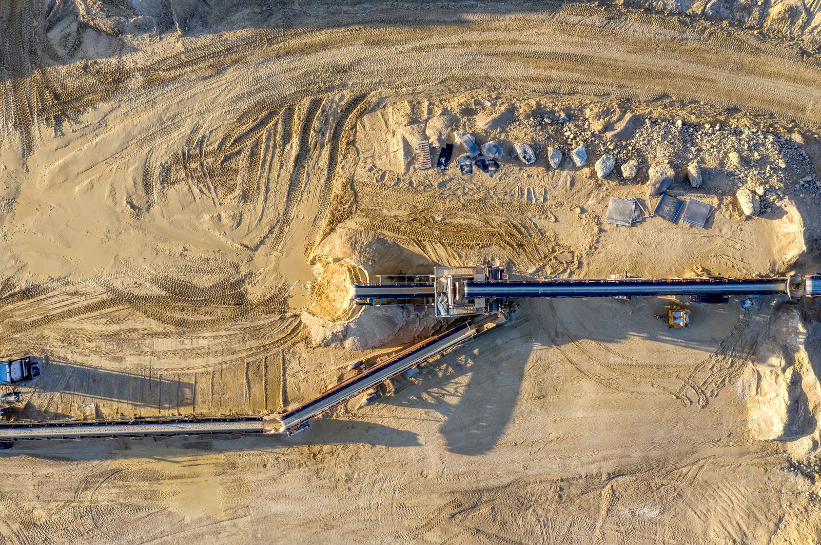
Corridor topography, right-of-way ties, and utility locates for six miles of planned highway widening.
Read MoreReal Estate Survey
ALTA-grade survey, easement exhibits, and zoning ties supporting a retail acquisition and its lender.
Read More
Testimonial
The Cairnstone crew pinned down our acreage corners and settled a fence dispute in one visit. Their plat was clear enough for our attorney to use as-is.

They staked our foundations and flatwork across three phases and never missed a pour date. Professional, timely, and precise — we use nobody else.

Efficient and reliable from quote to recording. Accurate results and great support throughout — the whole purchase felt straightforward and safe.


Contact Us
FAQs
Straight answers about timing, cost, and what a survey covers — or ask us directly any time.
A land survey fixes the exact boundaries, dimensions, and features of a property. It identifies the legal lines on the ground, which prevents disputes and gives every later document — deeds, permits, fences — an accurate starting point.
Most residential surveys finish within one to two weeks of authorization. Larger tracts, difficult terrain, or tangled deed histories can extend research and fieldwork — we confirm a schedule before we start.
A survey confirms you are buying what you think you are: true acreage, true access, and any easements or encroachments. Lenders and title insurers rely on it to close with confidence.
Cost follows lot size, terrain, record quality, and survey type. A standard residential boundary survey is typically a fixed fee quoted up front — call with your address and parcel number for an exact number.
You receive a signed and sealed plat showing boundaries, monuments, easements, and improvements, plus a written description of findings and digital files on request.
Order a survey when buying or selling land, before building or subdividing, when a boundary is disputed, or when the last survey is decades old. An update is wise after major grading or construction nearby.
Boundary surveys, topographic mapping, construction staking, ALTA/NSPS surveys, subdivision plats, elevation certificates, and easement exhibits — each detailed on our services page.
Yes. We research recorded easements and locate visible evidence of unrecorded use, then show every easement on the plat so nothing surprises you later.
Our traverses close to survey-grade tolerances — typically within fractions of an inch over hundreds of feet — verified by redundant measurements and calibrated instruments.
In most cases, yes: permits require setbacks proven from true lines, and building off an assumed line risks encroachment, stop-work orders, or moving the structure.
Blog Post
Practical guidance from our surveyors on boundaries, building, and the technology behind the tripod.