01
Scope & Datum
We agree on limits, contour interval, and datum with your designer up front.
Service Overview
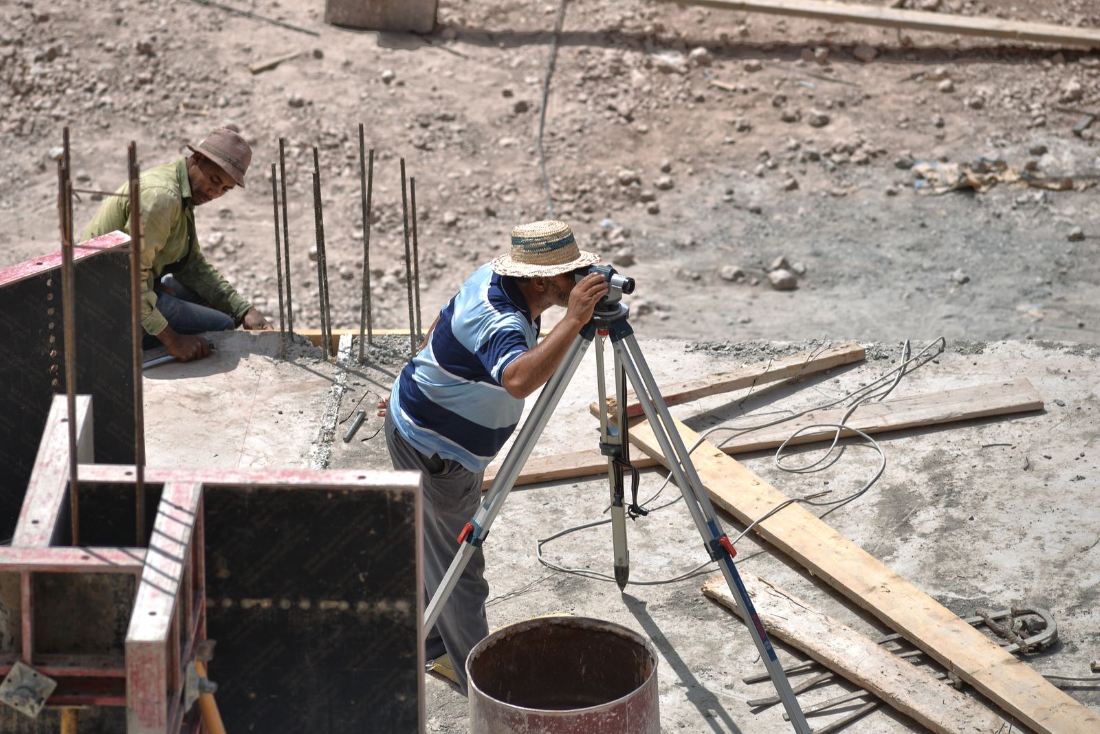
Our topographic surveys capture one-foot contours, spot grades, drainage patterns, utilities, trees, and structures — tied to project datum and delivered as CAD drawings plus a digital surface model. Architects size foundations from it, engineers grade from it, and contractors bid from it.
We scope density to your design: tight grids for grading plans, lighter coverage for feasibility, and corridor mapping for roads and utilities.

What's Included
Process
We agree on limits, contour interval, and datum with your designer up front.
GPS and traverse control set so every shot ties together within tolerance.
Robotic shots across the grid plus every hard feature, invert, and breakline.
Surface built, contours smoothed, CAD layered — checked against field notes.
Fix the legal lines first so the topo sits inside true ownership.
ServiceCarry the finished design back to the ground with staked layout.
ProjectSee corridor topo at work across six miles of roadway.
Topo surveys scoped to your plan set — CAD, surface, and sealed map included.