Project Overview
Six Miles, One Consistent Model
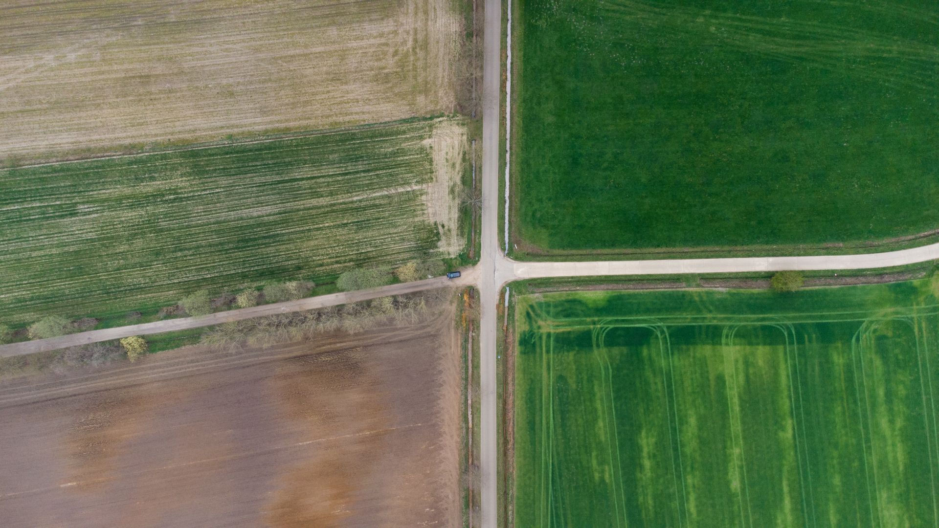
A transportation design firm needed survey-grade existing conditions for a planned widening: full corridor topography, every right-of-way monument recovered and tied, drainage structures with inverts, and surface evidence of utilities across six miles of mixed suburban and rural roadway.
Cairnstone ran the corridor in segments off a single GPS-derived control backbone, so the design team received one seamless surface — not six stitched ones.
Challenge
Live Traffic, Fragmented Records
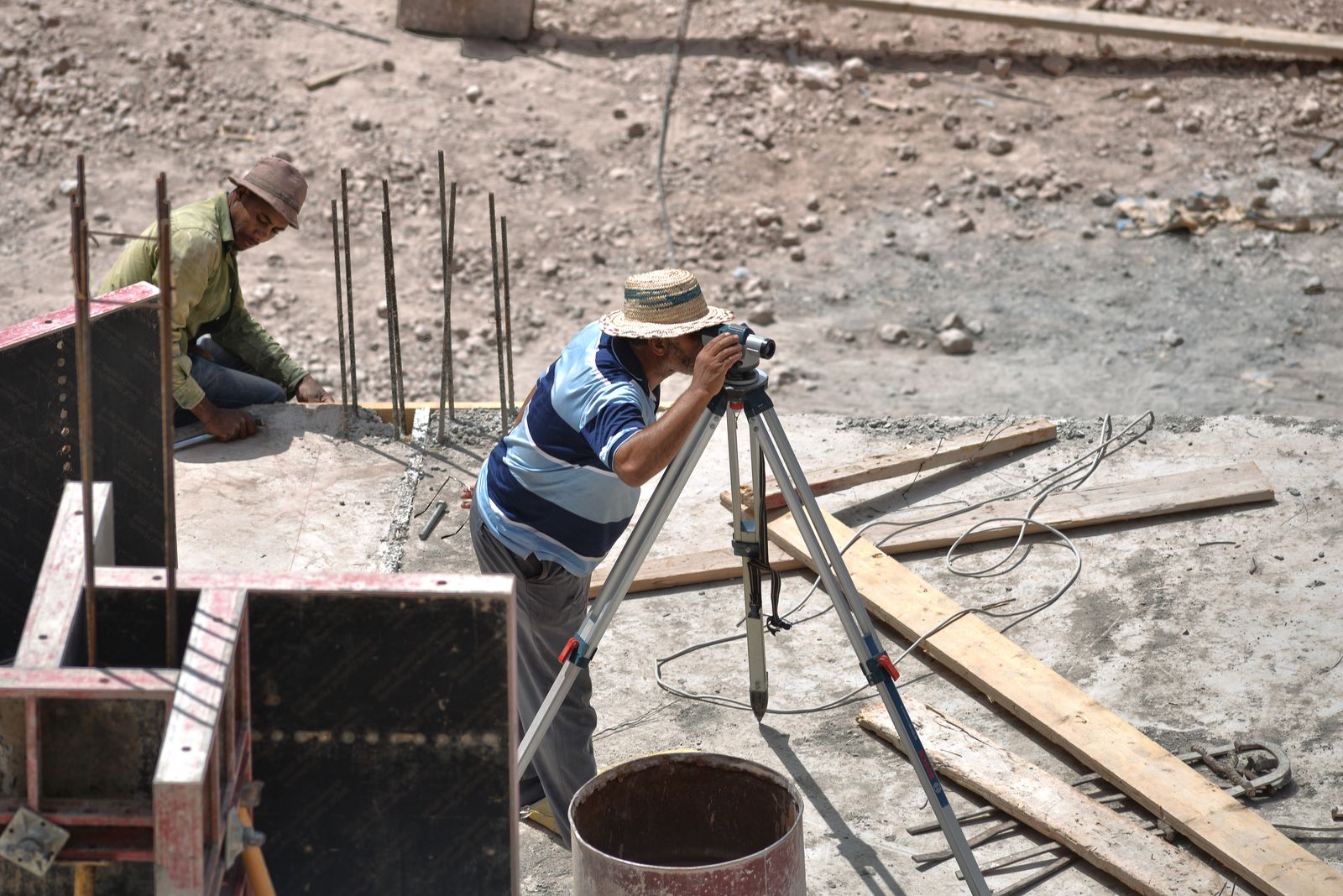
Right-of-way plans spanned five decades with gaps at every interchange, and all fieldwork ran beside live traffic. We worked with traffic control in off-peak windows and rebuilt the ROW line from plans, monuments, and occupation evidence segment by segment.
Approach
Control First, Segments Second
A primary control traverse closed the full six miles before any topo began. Crews then mapped outward from control in half-mile segments, each checked back before moving on — keeping the final surface within tolerance end to end.
Deliverables
What the Design Team Received
- Continuous corridor surface with one-foot contours and breaklines.
- Right-of-way resolution map with recovered monuments and gaps flagged.
- Drainage inventory: 80+ structures with rims, inverts, sizes, and materials.
- Layered CAD, surface model, and control report compatible with the DOT standard.
Outcome
The design team advanced to 30% plans without a single survey RFI round — the ROW map resolved two takings questions early, and the seamless surface let grading quantities come straight from the model.
Related Work
Eastbank Lot Layout and Plat
Phased control and stakeout across a 120-lot subdivision.
ServiceTopographic Mapping
Corridor-grade topo scoped to your design milestone.
ServiceConstruction Staking
From approved plans back to stakes in the ground.
Designing a corridor, road, or utility?
One control network, one seamless surface, zero survey RFIs.