Evidence Before Opinion
Monuments, fences, occupation lines, and the written record are weighed together — the way boundary law requires.
Home / About Us
Two decades of survey-grade measurement, honest plats, and field crews who treat every property line like it is their own.
Our Story
Cairnstone began in 2004 with one total station, a pickup truck, and a simple rule: no corner gets set on a guess. Today our licensed crews handle subdivisions, highway corridors, shoreline studies, and single-lot boundaries with the same field discipline.
What Guides Us
Monuments, fences, occupation lines, and the written record are weighed together — the way boundary law requires.
Closings, pour dates, and bid openings do not move for surveyors. We schedule backwards from yours and hit it.
No jargon walls. You will understand what we found, what it means, and what to do next — in writing.
How It Works
Share your address and parcel details; we pull deeds, plats, and control before quoting a fixed fee.
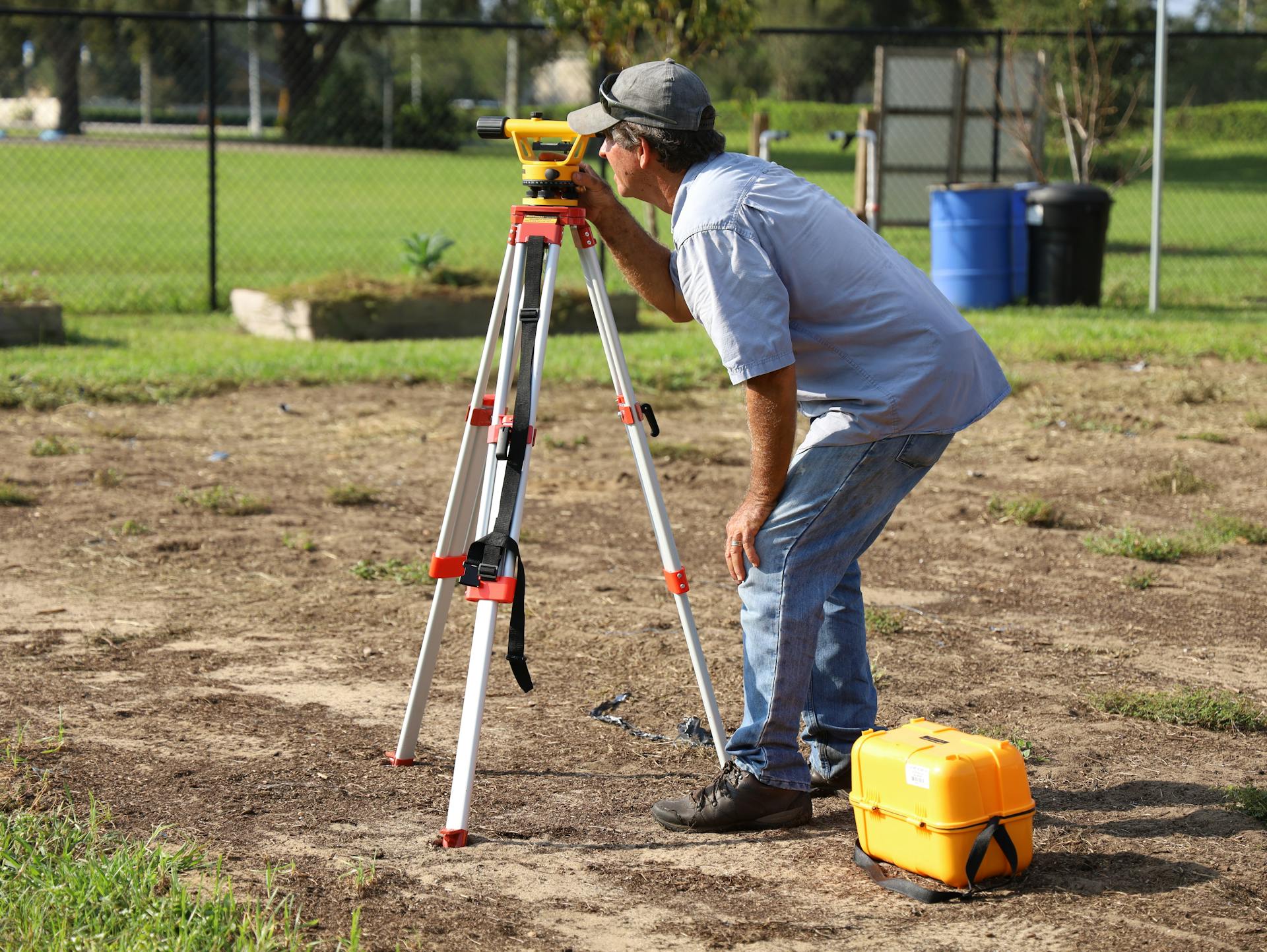
Our crew recovers monuments, runs closed traverses, and locates improvements with robotic instruments.
A licensed surveyor resolves the boundary, computes the map, and drafts your plat in CAD.
You receive the signed plat, description, and digital files — and we record it where required.
Tell us the address and what you are building, buying, or settling — we will scope it same-day.