Project Overview
Measuring a Moving Shoreline
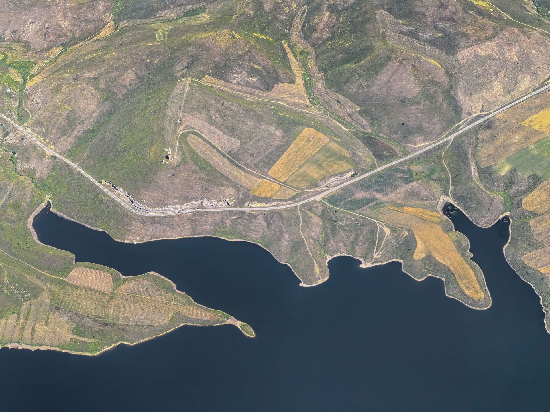
A coastal protection program engaged Cairnstone to establish permanent transects along two miles of bluff-backed beach and re-survey them each spring and fall. Each campaign captures bluff crest, face, toe, and nearshore profiles on fixed alignments so change is measured, not estimated.
Permanent monuments set back from the active edge let every campaign reoccupy the exact same lines, year after year.
Challenge
Tides, Access, and Soft Sand
Survey windows follow the tide tables, bluff faces shed material between visits, and rod work in soft sand demands constant checking. We schedule campaigns around low water, run control from stable inland points, and close every transect back to a check shot.
Approach
Fixed Lines, Repeatable Results
Eighteen transects on brass monuments, identical rod intervals each visit, and profiles plotted over prior campaigns in the field — so anomalies are re-shot the same day, not discovered in the office.
Deliverables
What the Program Received
- Eighteen monumented transects with baseline coordinates and sketches.
- Seasonal profile plots showing cut, fill, and bluff-crest retreat per line.
- Volume computations between campaigns for nourishment planning.
- Summary reports written for boards and grant applications, not just engineers.
Outcome
Four campaigns documented the bluff's seasonal cycle and identified two reaches retreating faster than the average — data the program used to prioritize protection work and support its next round of funding.
Related Work
Route 9 Widening Survey
Long-corridor surveying with the same repeatable control discipline.
ServiceTopographic Mapping
Profiles, surfaces, and volumes from survey-grade field data.
ArticleTechnology in Survey Techniques
How modern instruments changed long-term monitoring work.
Managing land that moves?
Baseline surveys and repeat monitoring with numbers your board can use.